
- General map with trails and usage
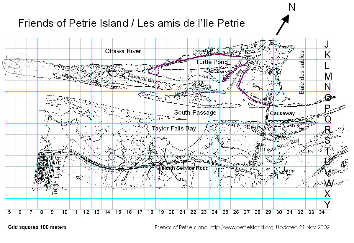
- Map of Petrie Island with grid squares (GIF).
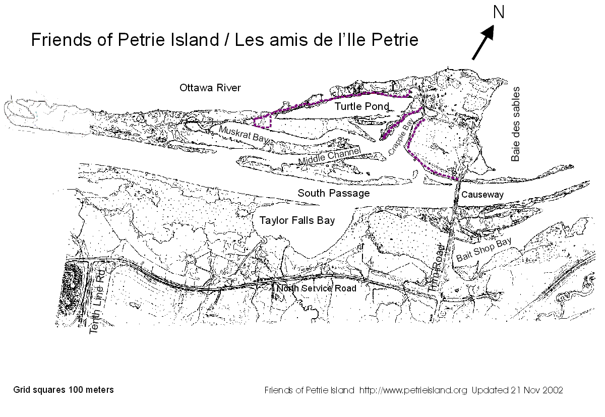
- Map of Petrie Island without grid squares (GIF).
- Map of Petrie Island with grid squares (Corel Draw 8.0) with overlays.
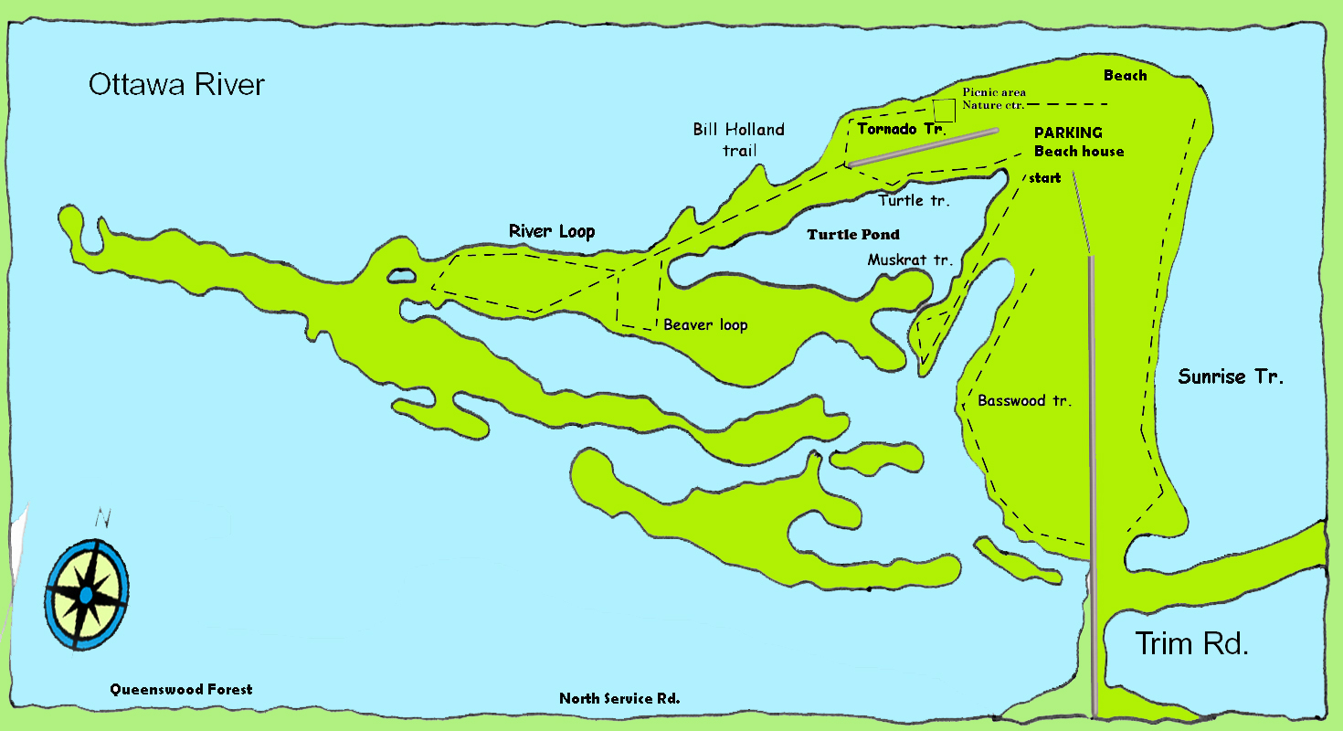
- Trail map
- Cumberland Township sketch of islands as part of Petrie Island Master Plan, July 1998.
- Cumberland Township sketch showing details of marina proposal, July 1998.
- How to get to Petrie Island
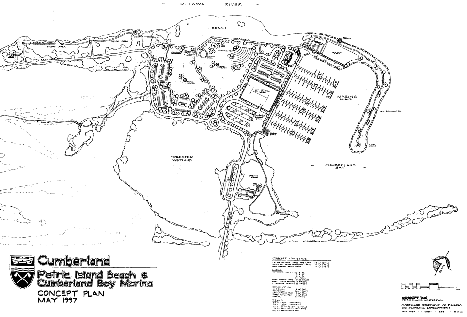
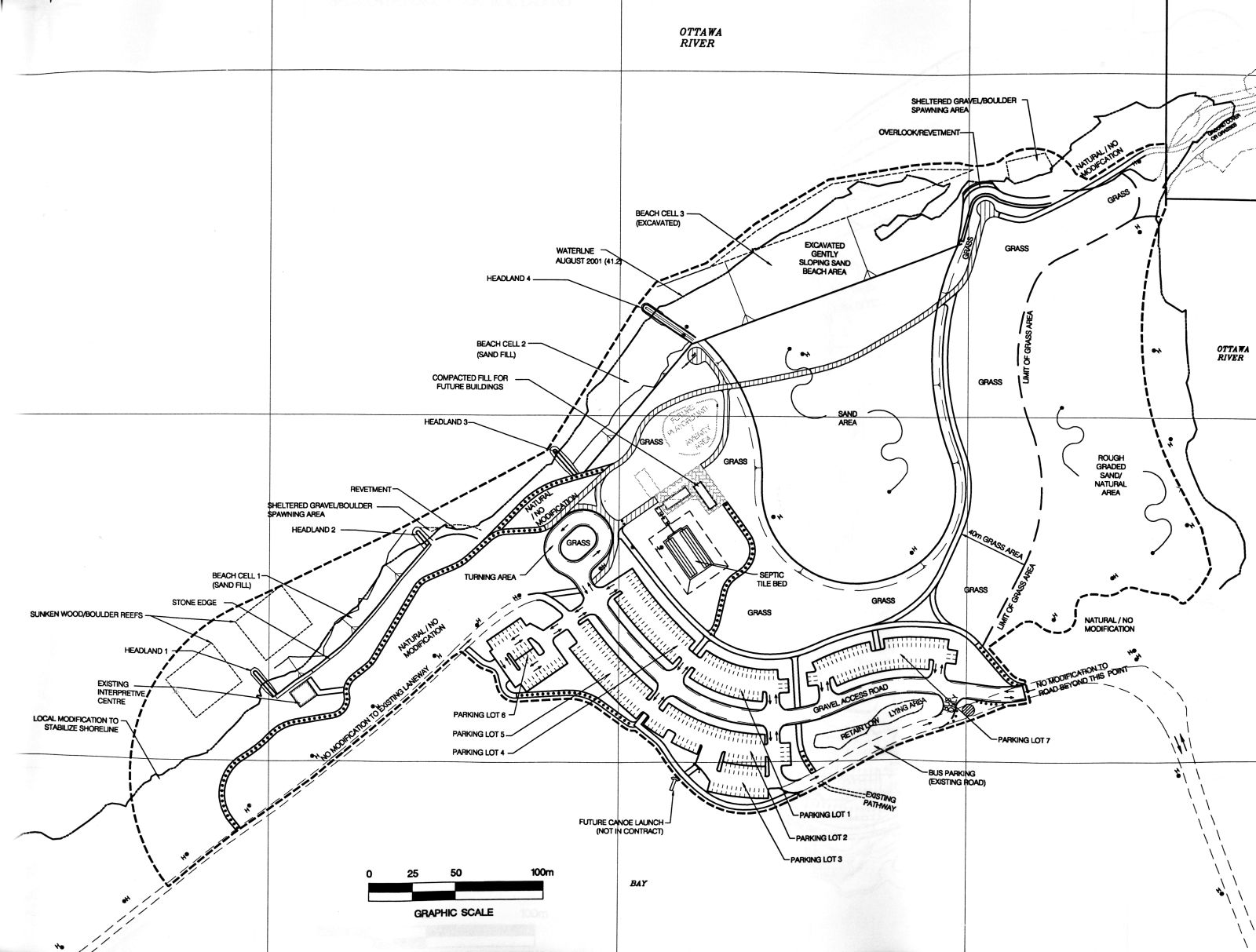
- Petrie Island beach plans, October 2003
- 1:50,000 topographic map of Orleans ca. 1998